 Getaway Pines
Lake Tahoe in 3 Days: The East Shore Route (Printable)
By Travel Planner & Researcher · Updated October 15, 2026
Tahoe splits cleanly in two. The west shore is where most people stay and where the traffic lives. The east shore is quieter, has the better swimming water, and gets morning light on the boulders. This route spends all three days on the east shore and crosses to the west once, for Emerald Bay, at the hour nobody else does.
The stops, in order
1. Day 1 — Sand Harbor, then the east shore pull-offs
- Photo spot:
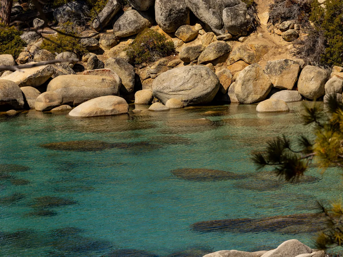
- Beach level at the north end, shooting along the boulder line with the water going clear to turquoise in the foreground. Get there by 7am; the lot fills fast in summer.
- Eat:
- Incline Village for breakfast after the beach. Dinner in Incline, or back down toward Carson City.
- Cost:
- Sand Harbor is a day-use area with a per-vehicle fee — check the current rate and whether reservations are required in season.
- Note:
- Water shoes. The boulders are sharp and the entry is rocky.
2. Day 1 afternoon — Spooner Lake and Highway 28
- Photo spot:
- The easy trail around Spooner Lake gives you reflective water and a mountain backdrop without a climb. Then drive 28 north, stopping at every pull-out that looks down on the lake.
- Eat:
- Nothing on 28. Plan around Incline Village.
- Cost:
- Free to drive and stop.
3. Day 2 — Emerald Bay at opening
- Photo spot:
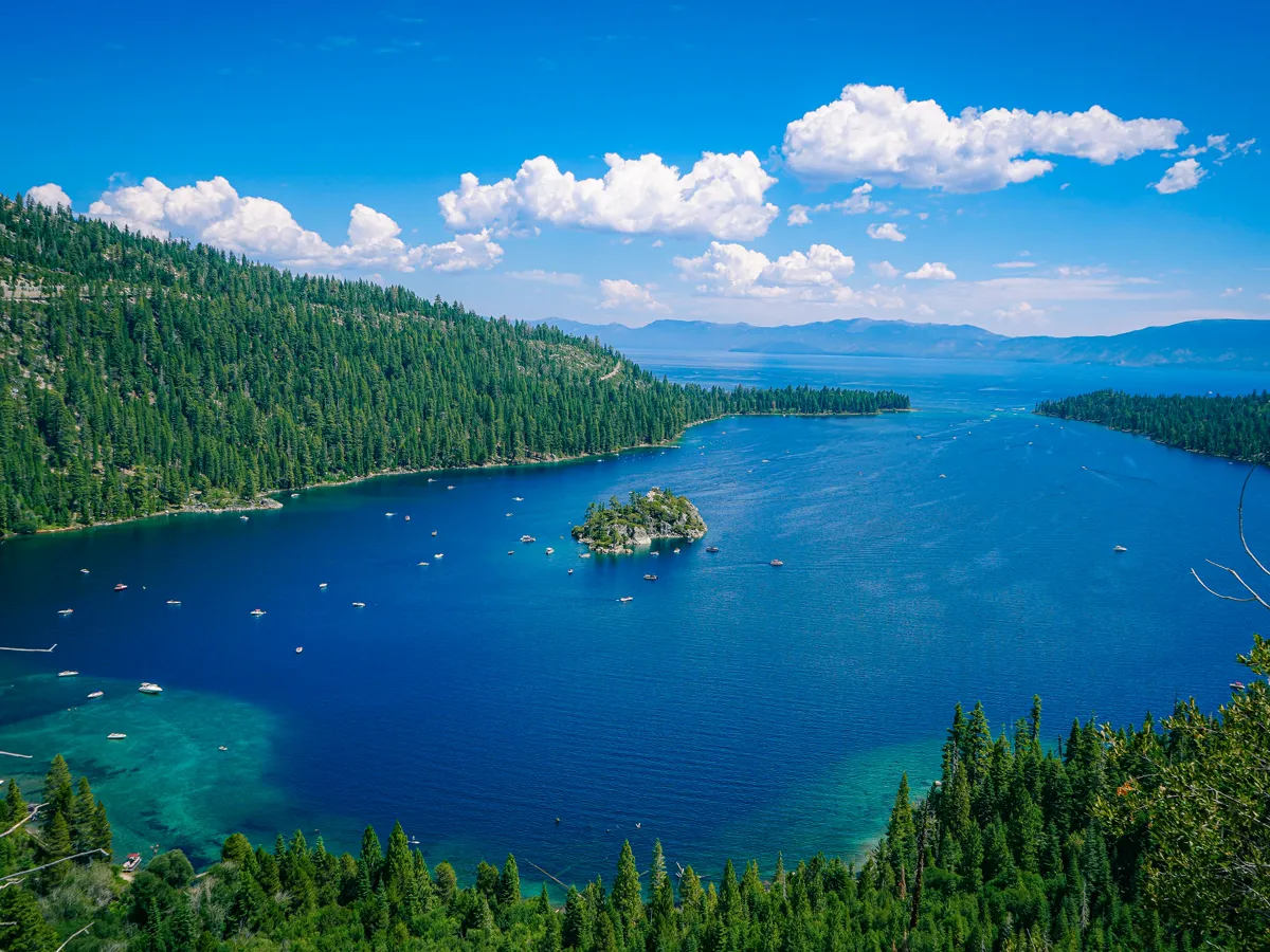
- The classic viewpoint from the road above the bay, then down to the water for the Fannette Island shot. Arrive when the park opens; by late morning the viewpoint is shoulder to shoulder.
- Eat:
- South Lake Tahoe, 20 minutes north, for everything.
- Cost:
- Emerald Bay is a state park with a day-use parking fee — verify the current rate before you go.
4. Day 2 afternoon — Vikingsholm
- Photo spot:
- The Scandinavian-style stone house at the edge of the bay, shot from the trail above it with the water behind. The architecture is the subject here, not the lake.
- Eat:
- Back to South Lake Tahoe.
- Cost:
- Vikingsholm tours are paid and seasonal — check whether they are running.
5. Day 3 — Mt Rose Highway and the high view
- Photo spot:
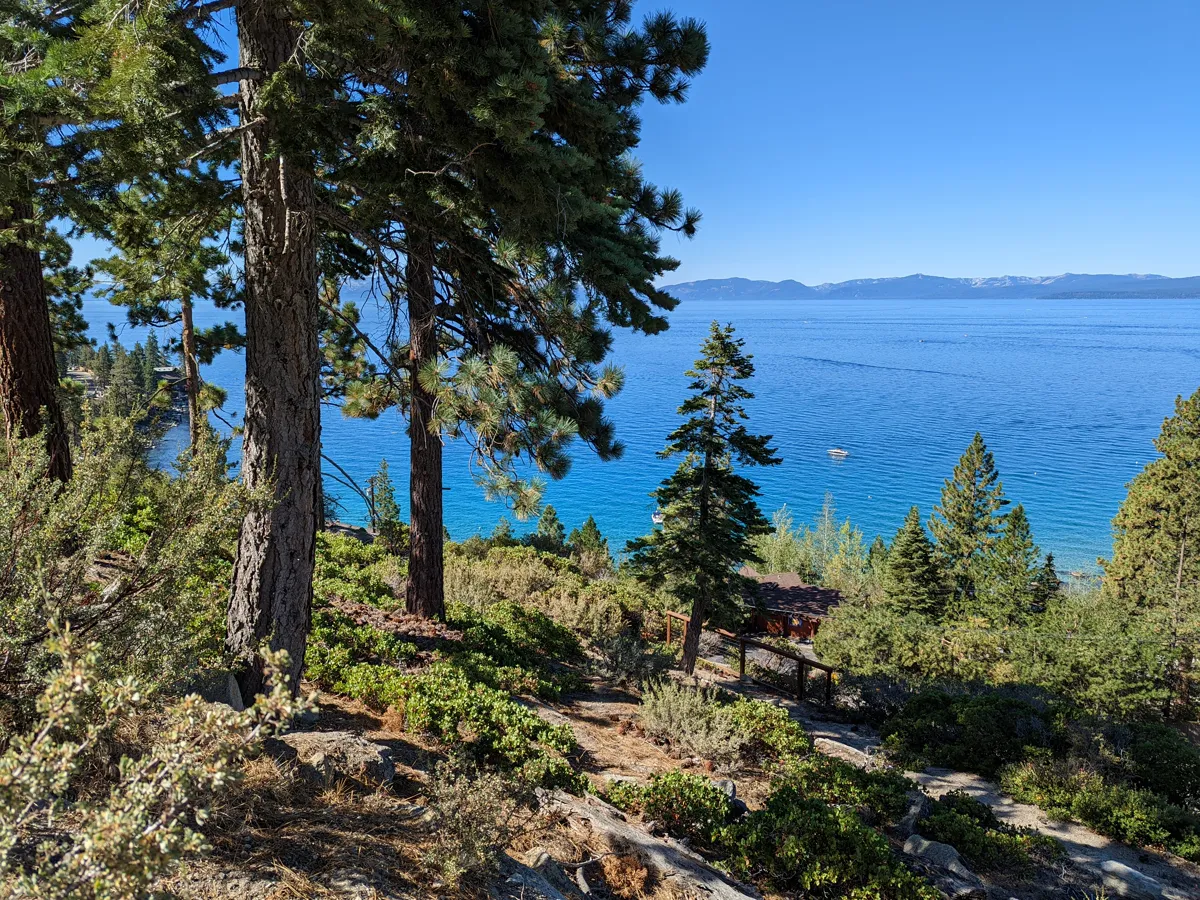
- The summit pull-off on Highway 431 gives you the lake from above, which is the only way to see its shape. Late afternoon light is better than morning here.
- Eat:
- Incline Village on the way back down.
- Cost:
- Free to drive and park at the overlook.
6. Day 3 evening — Sand Harbor sunset
- Photo spot:
- Back to where you started, at water level, shooting west into the light. The boulders go dark against the water and the crowd has gone home.
- Eat:
- Whatever is still open in Incline.
- Cost:
- Same day-use fee as day 1.
What it actually looks like
Where this starts
Questions people ask
Is the east shore or west shore better?
For photography and swimming, the east shore. The water is clearer, the light hits the boulders in the morning, and the traffic is a fraction of what Highway 89 sees. For restaurants and nightlife, the south and west shore towns.
Do I need reservations at Sand Harbor?
In peak season the day-use area often runs on timed entry or reservations, and it fills regardless. Check the state park page for the current system before you drive out — it has changed more than once.
How far is Emerald Bay from Incline Village?
Roughly an hour by car around the lake, longer in summer traffic. That is exactly why it is worth doing once, at opening, rather than as an afternoon afterthought.
What is the one thing people forget for Tahoe?
Water shoes. Almost every east-shore entry is granite boulder, and it is sharp. Flip-flops do not survive it.